Neuse River Crossings
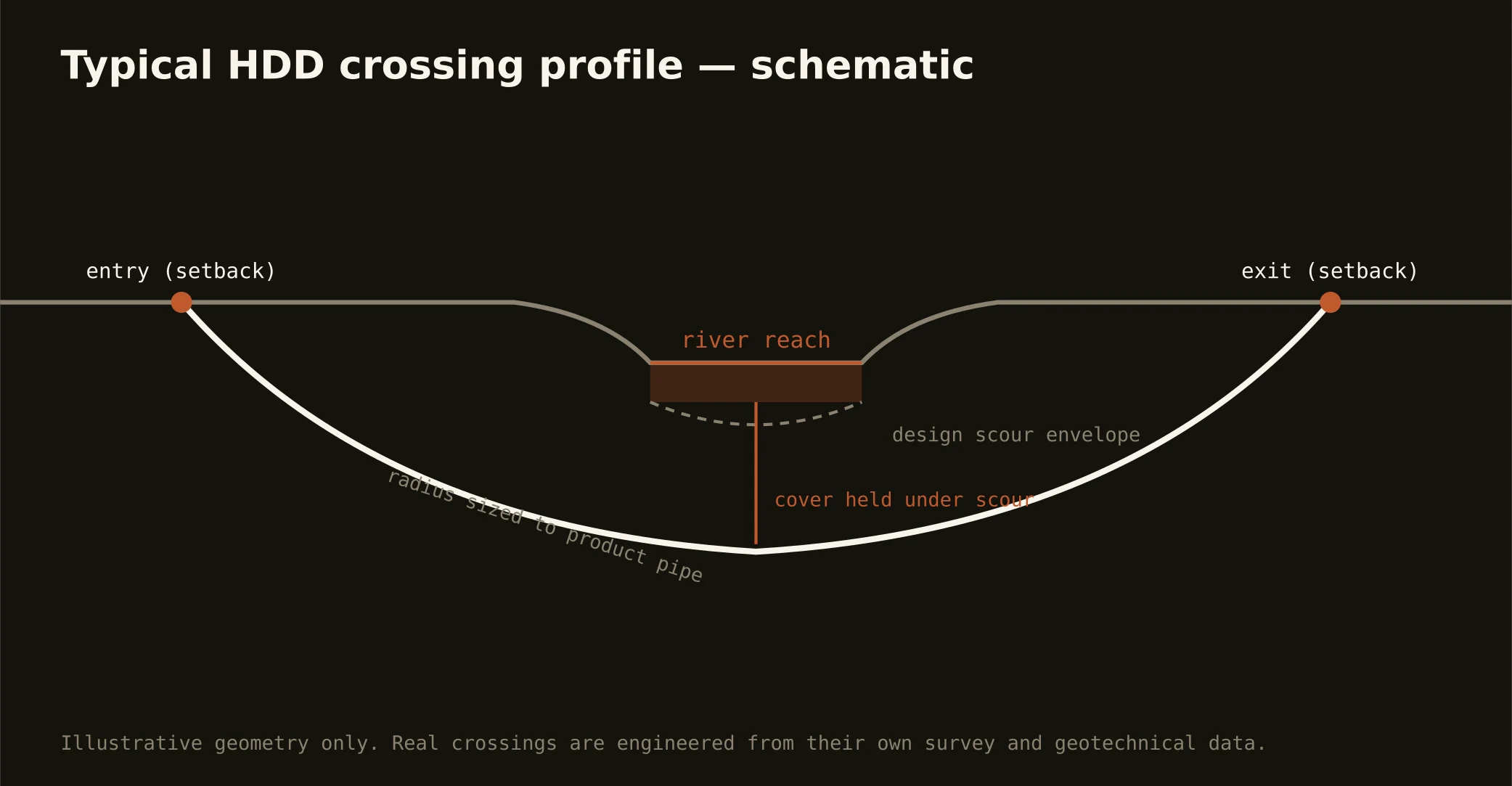
The Neuse is the metro's working river — impounded at Falls Lake for the region's drinking water, then winding southeast through Raleigh, Clayton, and Smithfield as the corridor every eastbound utility eventually meets. Crossing it is the signature Triangle-east bore: setback entry and exit outside the buffer, a profile holding cover under channel and scour, and an exit that leaves the riparian zone exactly as the rules require.
The rules are the local specialty. The Neuse basin carries some of the state's most developed riparian-buffer and nutrient regulations, layered with water-quality review and — near Falls Lake — the added seriousness of a drinking-water supply watershed. The road or rail owner overhead joins the stack as always. Our quotes name every authority and schedule to the longest honest clock, because on this river the buffer paperwork is often the schedule.
Technically, Neuse crossings ride the metro's transition: piedmont reaches upstream where rock shoulders into the channel's story, softening toward Johnston's sands downstream. Geotech drives the profile, the profile drives the rig, and fluid discipline runs at drinking-water-basin standards — containment both banks, conservative pressures, written response plan before the pilot.